PlaneTrackr – Help – Navigraph Navdata
A free software simulating an ATC Radarscreen using ADSB Data.
Using Navigraph Navdata with PlaneTrackr
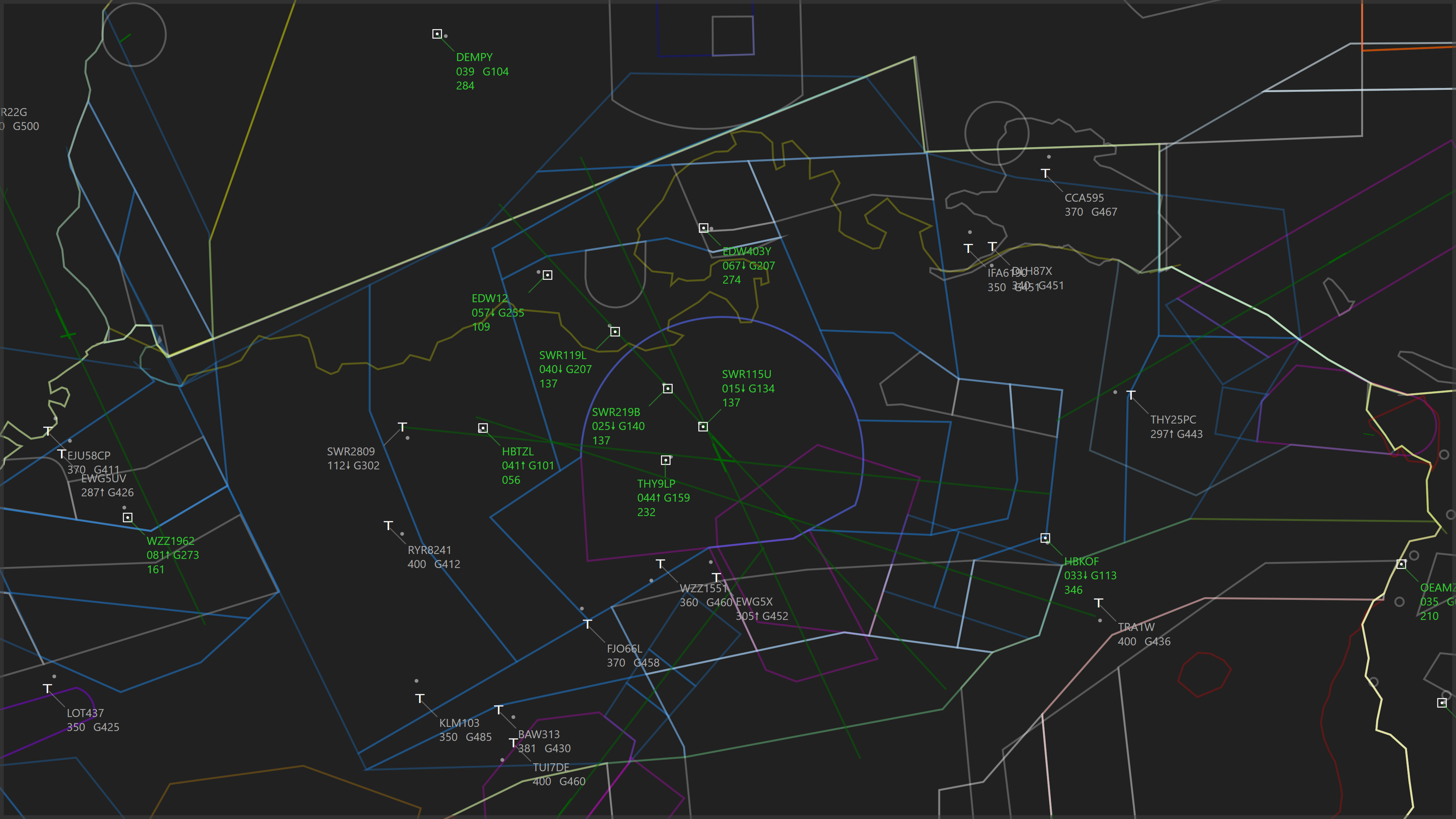
It is possible to use Navigraph Navdata with PlaneTrackr to display Fixes, Navaids and Airways as well as Airspaces.
A Navigraph subscription is required to obtain the necessary navdata.
Importing Fixes, Navaids and Airways from NAVIGRAPH
- Visit the Navigraph Website and got to the Download page. Download the X-Plane 12 Windows Database file from the Manual Download section.

- Unzip the file.
- Launch PlaneTrackr.
- Open the tab “Fixes & Airways” in the Navdata Editor.
- In the tab “Import“, set the path to the earth_fix.dat, earth_nav.dat and earth_awy.dat files.
- Import Enroute Fixes, Navaids and Airways by using the “Import” button under each section. This may take up to 2 minutes for each import.
- Consider importing Terminal Fixes for the regions you are interested in. Globally, there is a very large amount of terminal fixes, so it is recommended to only import the ones you are interested in to preserve memory and performance.
- Close the Navdata Editor.
- In the “Display Options” right click the FIXES – ON button to select which waypoints you want to display.
- In the “Display Options” use the Airways drop down menu to select if you want to display LOW, HIGH or LOW + HIGH airways.
Note:
Deleting, editing or renaming NAVIGRPAH waypoints using the “Edit Fixes” tab in the Navdata Editor is not recommended, as this may break airways that have been imported. Create custom User Waypoints instead.
Importing Airspaces from NAVIGRAPH
- Visit the Navigraph Website and got to the Download page. Download the X-Plane 12 Windows Database file from the Manual Download section.
- Unzip the file.
- Launch PlaneTrackr.
- Open the tab “Airspaces” in the Navdata Editor.
- In the tab “Import“, set the Airspace Source to Navigraph.
- Set the path to the airspaces.txt file.
- Press the Import button to begin the importing process. This may take a couple of seconds.
- Close the Navdata Editor.
Note:
Deleting, editing or renaming NAVIGRPAH airspaces using the tab “Edit” is possible.